On the house history hunt for 2116 Maple Street – Part 1: Fire Insurance Maps, Water Service Records and Building Permit Registers
House history research is one of the most common reasons people find their way to the Archives. As such, we …

House history research is one of the most common reasons people find their way to the Archives. As such, we …
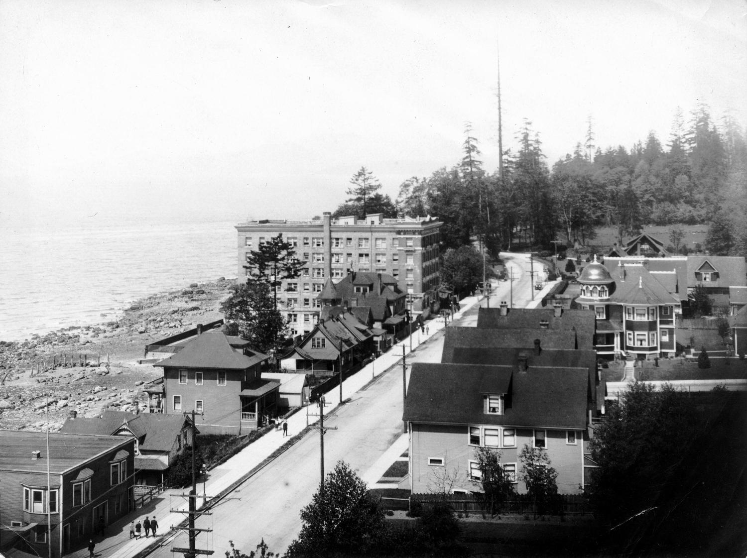
Earlier this year, Harry Swain of Victoria donated a photograph to us and it caused great excitement. Here it is: