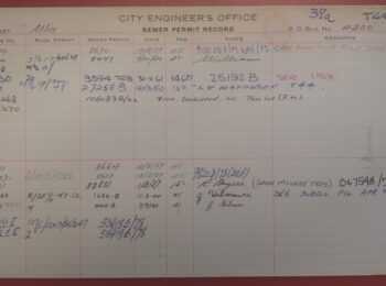

We are pleased to announce that we are now able to make available a significant volume of records from the City’s Planning Department. The Department has been responsible for land use planning, administering the Zoning and Development By-law and administering development services since 1952.
The records included in this large batch include additions to the principal records series for the Department (COV-S648 Planning operational records), as well as smaller additions to COV-S650 Civic and Urban Design Panels records and COV-S602 Zoning Secretary’s public hearings files.
Our archival processing work also has resulted in the creation of a number of new series, as the Archives received its first transfers of these records:
- COV-S685 City-owned property planning records, which document the City’s planning functions as they applied to City-owned property.
- COV-S686 Technical Planning Board records, which consist of agendas and minutes of the Technical Planning Board and its Development Permit Sub-committee (predecessor of the current Development Permit Staff Committee).
- COV-C687 Heritage Awards nomination packages
- COV-S688 Development Permit Board and Staff Committee minutes
- COV-S689 Zoning and Development By-law amendment records
- COV-S691 First Shaughnessy Advisory Design Panel records, which document the Panel’s role in providing advisory services to the Planning Department regarding development permit application in Shaughnessy.
Some of these newly-acquired records go back to the foundation of the Planning Department in 1952, when it was created from portions of the former Building Department and took on some of the responsibilities of the Town Planning Commission.
The records cover many of the department’s responsibilities for planning and development services in Vancouver, including:
- Implementation of and revisions to the Sign By-law
- Creation of and revisions to the Zoning and Development By-law, No. 3575
- Establishment and abolition of building lines along City streets
- Planning of and revisions to Vancouver’s street grid and laneways
- Land use planning around the harbour and transportation linkages to the Port of Vancouver
- Planning an expansion of Vancouver International Airport in the early 1970s, including citizen involvement in the planning process
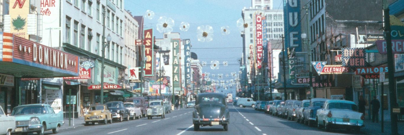
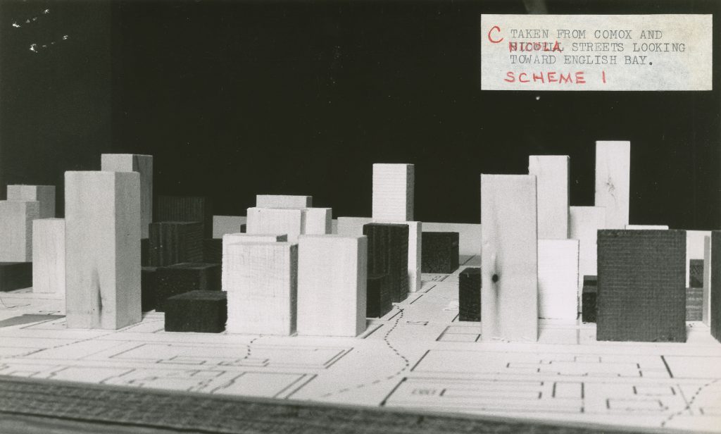
- Beautification and re-development of downtown business districts in the 1960s and 1970s
- Administration of federally-funded urban renewal projects in the 1960s and 1970s
- Participation in the Fraser River Estuary Management Program, and land use planning in the Fraser River lands
- Administration and assessment of the Residential Rehabilitation Assistance Program
- Studies to design and construct a freeway network through the City, including a proposed twinning of the Lion’s Gate Bridge and plans to replace the Connaught Bridge (the second bridge at Cambie Street). The records of this project will be examined in more detail in a later blog post.
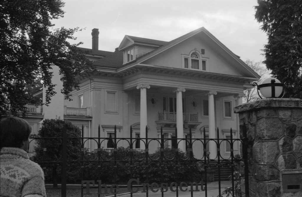
- Acquisition of the original Shaughnessy Golf Club and the debate over the site’s use
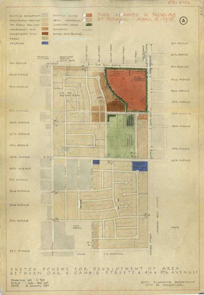
- Redevelopment of railway lands, including the development of Oakridge Mall and the surrounding area
- Evolution of industrial land use policy and re-zoning for non-industrial uses
These records cover some of the critical issues that faced the City’s development in the second half of the 20th century, and we hope you find the records provide valuable background information behind the decisions that have shaped the City for the last 60 years.