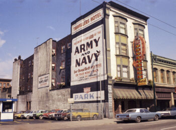
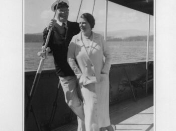
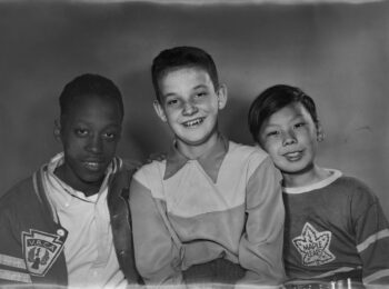
Back in January of 2018, an installment of over 6,900 digitized Heritage Inventory photographs was made available on our online database. You can read about these photos here. As of this month, a new installment of inventory photos is ready for viewing through the database, with a subset on flickr. This batch of photos comes from the City’s Planning Department and includes 8,280 photographs. The digitization of these photographs was made possible by funding from the British Columbia History Digitization Program and the Friends of the Vancouver City Archives.
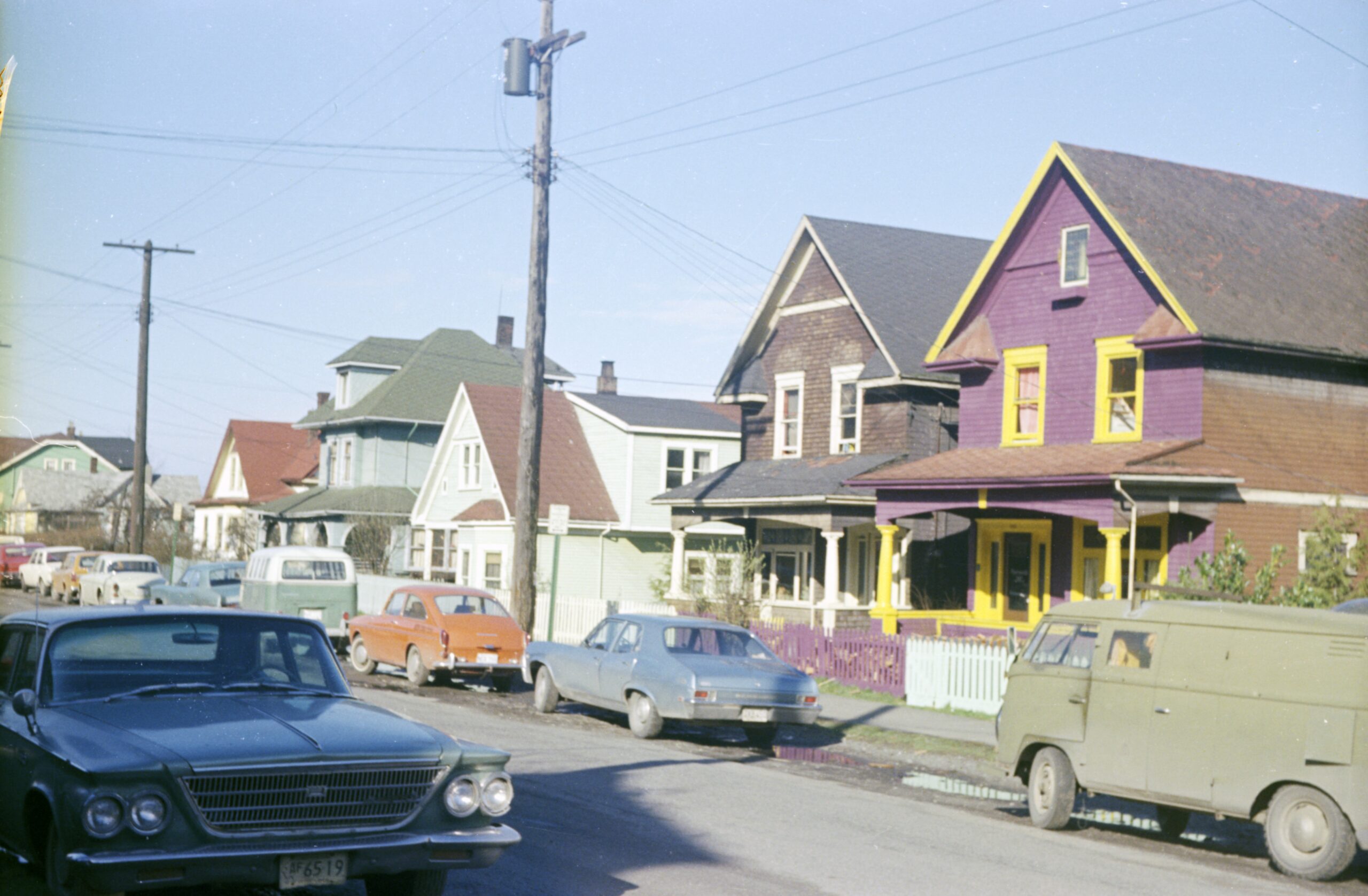
These images came to the Archives in the form of 35mm strip negatives, some in colour and some in black and white. For preservation purposes these negatives are kept in the Archives’ frozen storage unit. Up until now, anyone wishing to look at these images would need to provide at least 24 hours notice in order for the negatives to acclimatize to the temperature of the Reading Room. Once the negatives had reached the appropriate temperature they would need to be placed on a light box and viewed through a magnifying glass. However, now that they are digitized they can be pulled up at a moment’s notice, even remotely. Moreover, the photographs are now accompanied by item level descriptions which give researchers additional points of entry, such as subject and place access points.
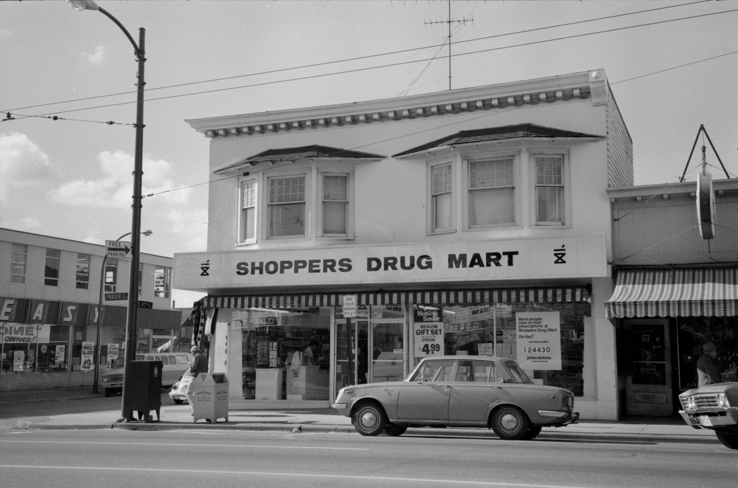
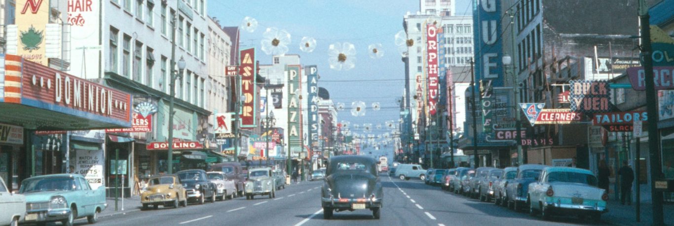
Taken between 1967 and 1977, these photographs prominently feature commercial neighbourhoods such as Gastown, Chinatown, and Downtown and also include residential areas like Mount Pleasant, Fairview, Strathcona, and Marpole. The majority of these photos depict houses, apartment buildings, churches, schools, and commercial buildings such as hotels, restaurants and retail stores.
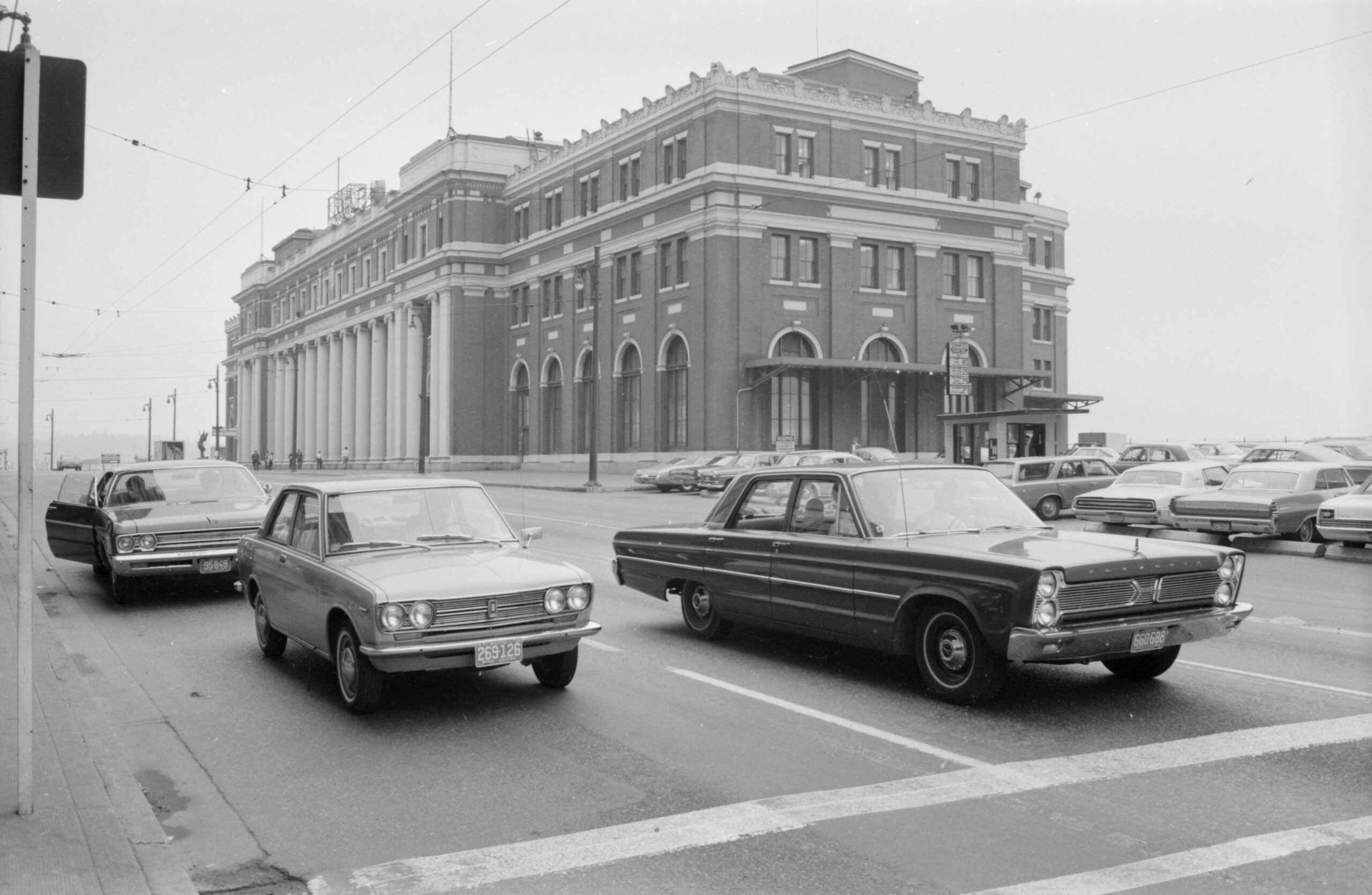
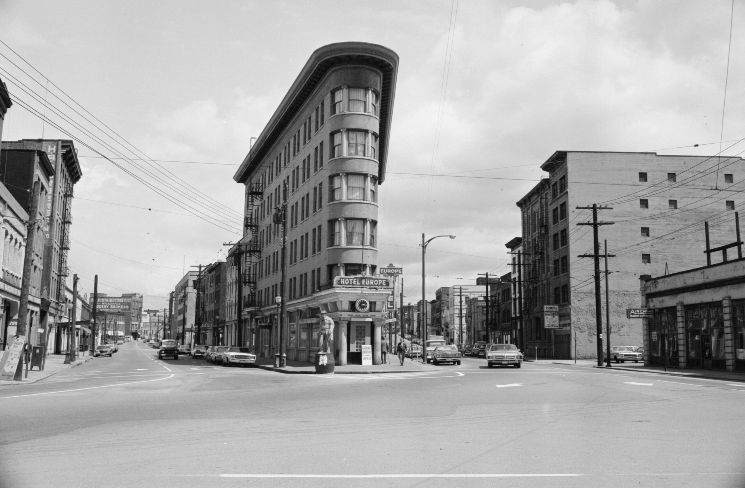
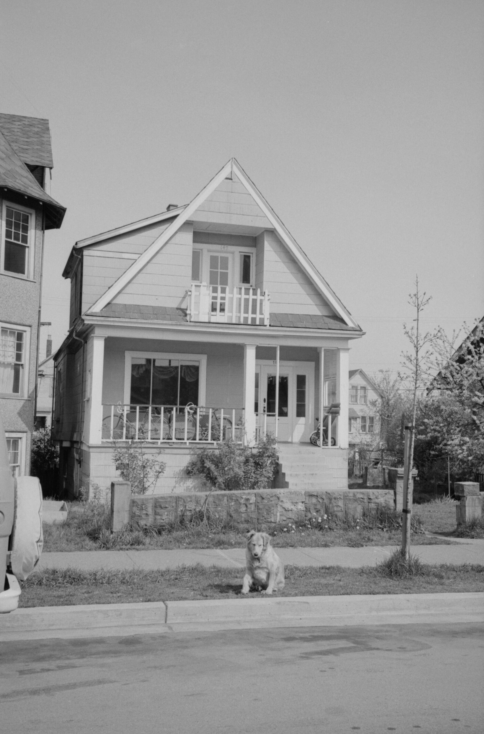
The 8,000 plus images also document all aspects of the built environment through photos of bridges, parks, statues, and roads. Many photos also depict people interacting with their surrounding environment, whether they are walking down the sidewalk, driving or cycling down the street, or performing construction work. Every now and then a furry friend will sneak into a photo.
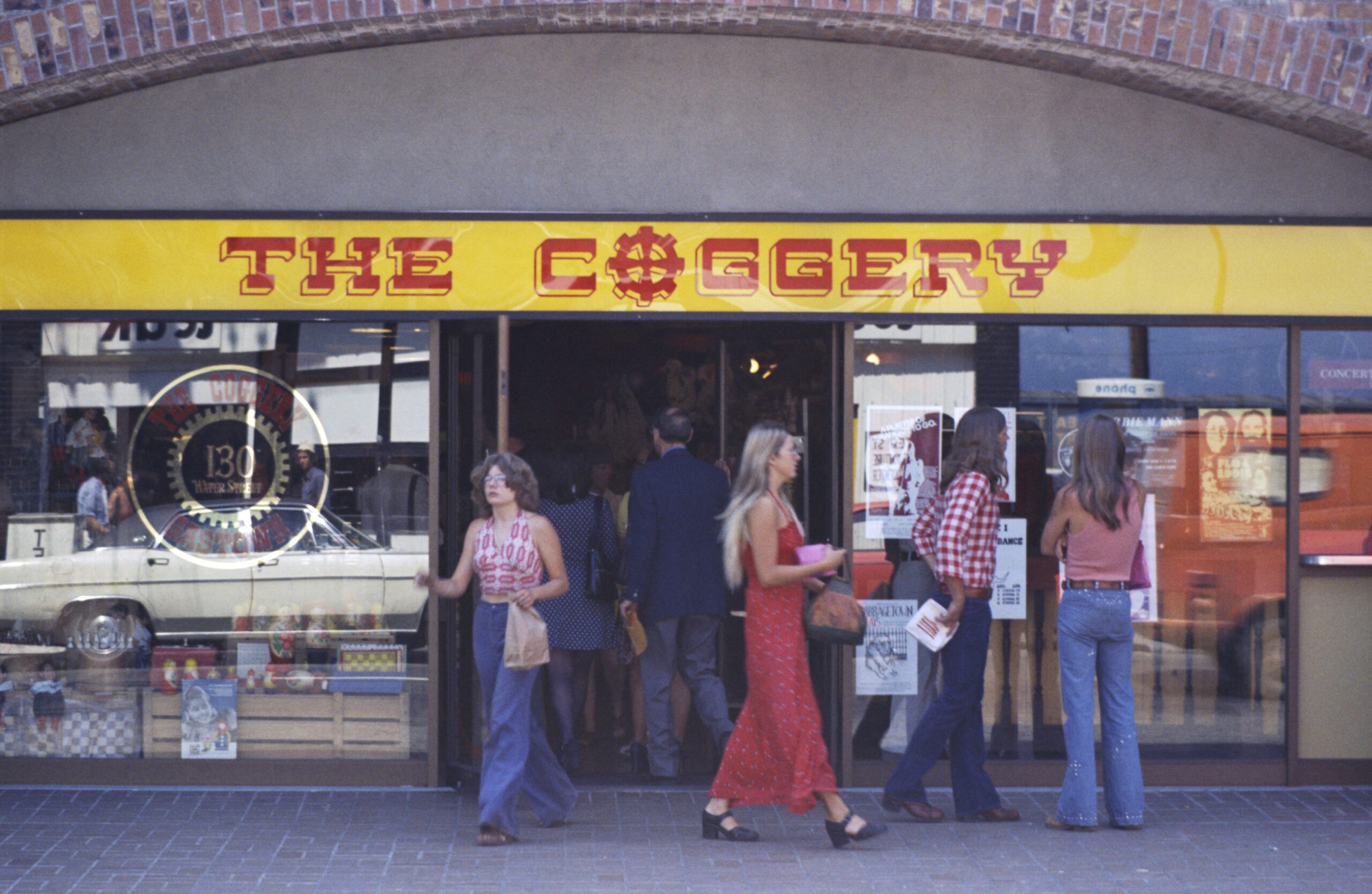
These images provide the viewer with a taste of what Vancouver was like in the 60s and 70s with the colour photos painting a particularly vivid picture of street style – check out the long hair, halter tops, and flared denim!
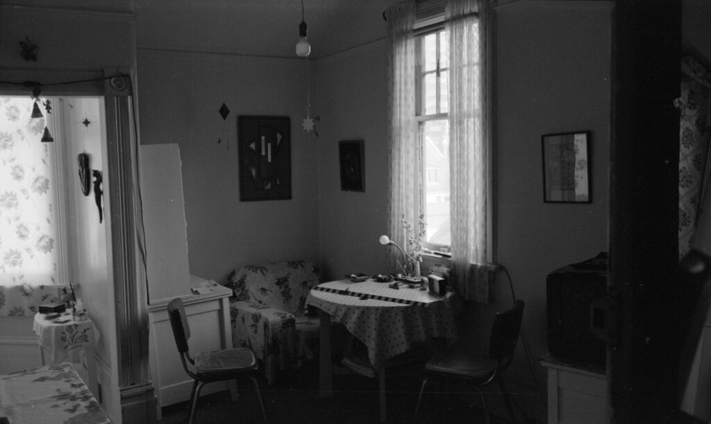
While the majority of the photographs in this series showcase the exteriors of Vancouver’s buildings there are a few that portray the interiors. One such example is 1415 Barclay Street, currently known as the Roedde House Museum, whose exterior is also featured prominently in this series. Photos of the interior give the viewer a glimpse into interior decorating fads of the 1970’s, as seen in the photo below.
Whether depicting the exterior or interior of a building, these photographs are an important component of the research conducted by Heritage Planners and private heritage contractors working on behalf of the Planning Department. Many of these photographs are linked to textual records, which can be found in Series S682 and may contain any or all of the following on a particular structure: correspondence and memoranda, photographs, survey forms, architectural survey forms, beautification building survey data forms, architectural or technical drawings, and general notes on history, condition, assessed value, etc. Here is an example.
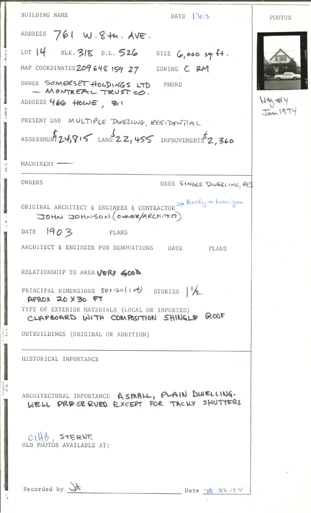
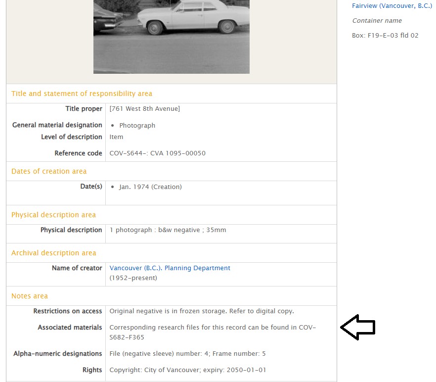
Files for surveys in the 1970s are arranged by street name; each file contains information on one or more structures on a particular street or range of blocks on a street. Surveys from later years are filed by individual address. For those photographs where a related textual record was found, the file location of the textual record can be found in the “Associated materials” section of the photograph’s description.
With hundreds of buildings described why not try looking up your home or work address? Happy researching!
