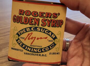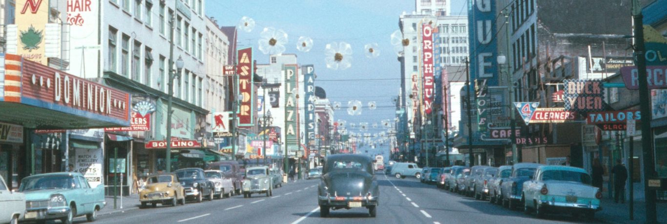
The Archives’ on-going inventory project has revealed some gems, including records that would be well served with enriched metadata in our AtoM database. This blog post focuses on one such body of records: appropriation and demolition files from the City’s Strathcona redevelopment projects of the 1960s. These records form part of the Property Division series COV-S305 Redevelopment files subsequent to the 1957 Vancouver Redevelopment Study.
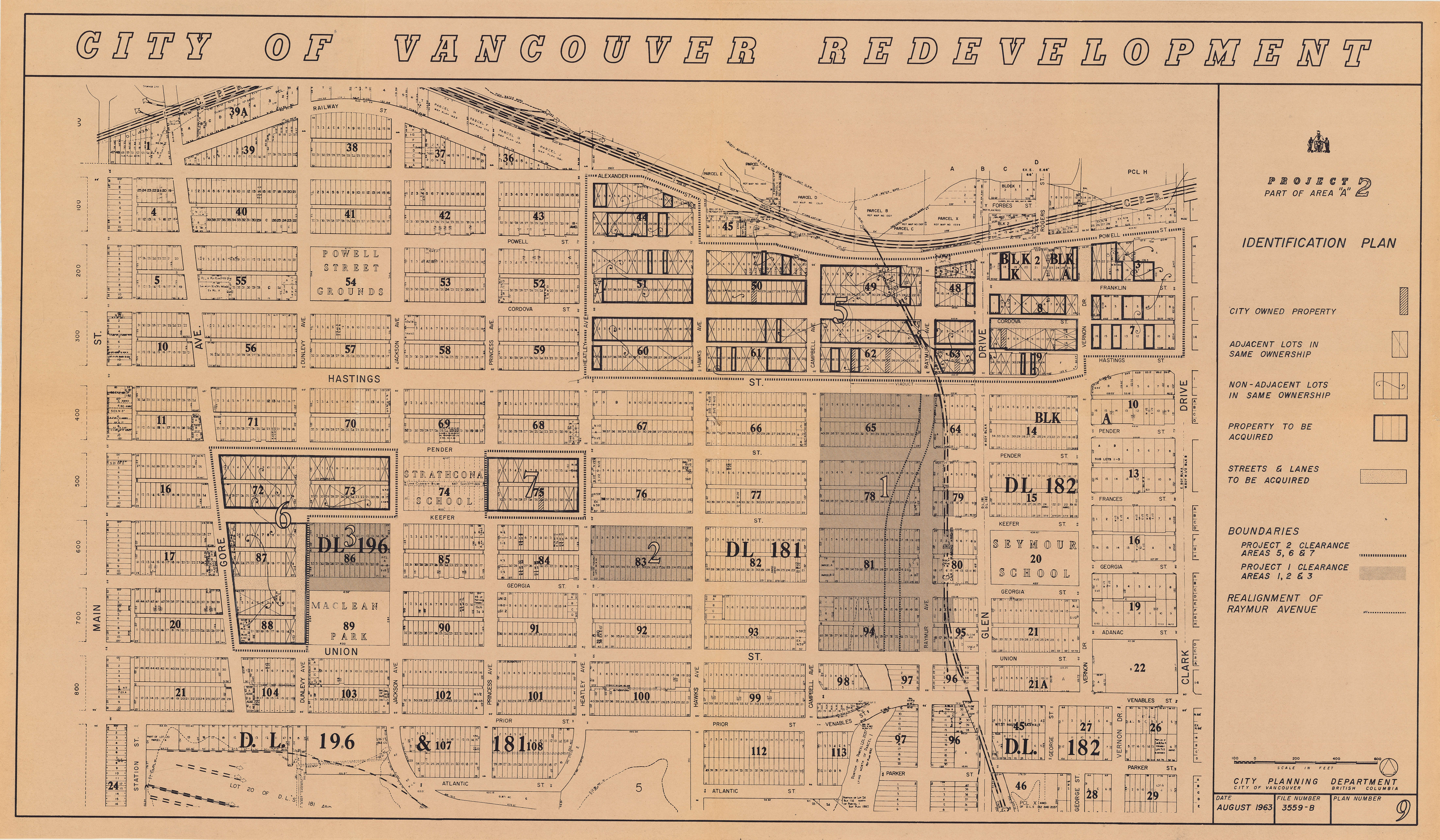
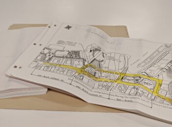
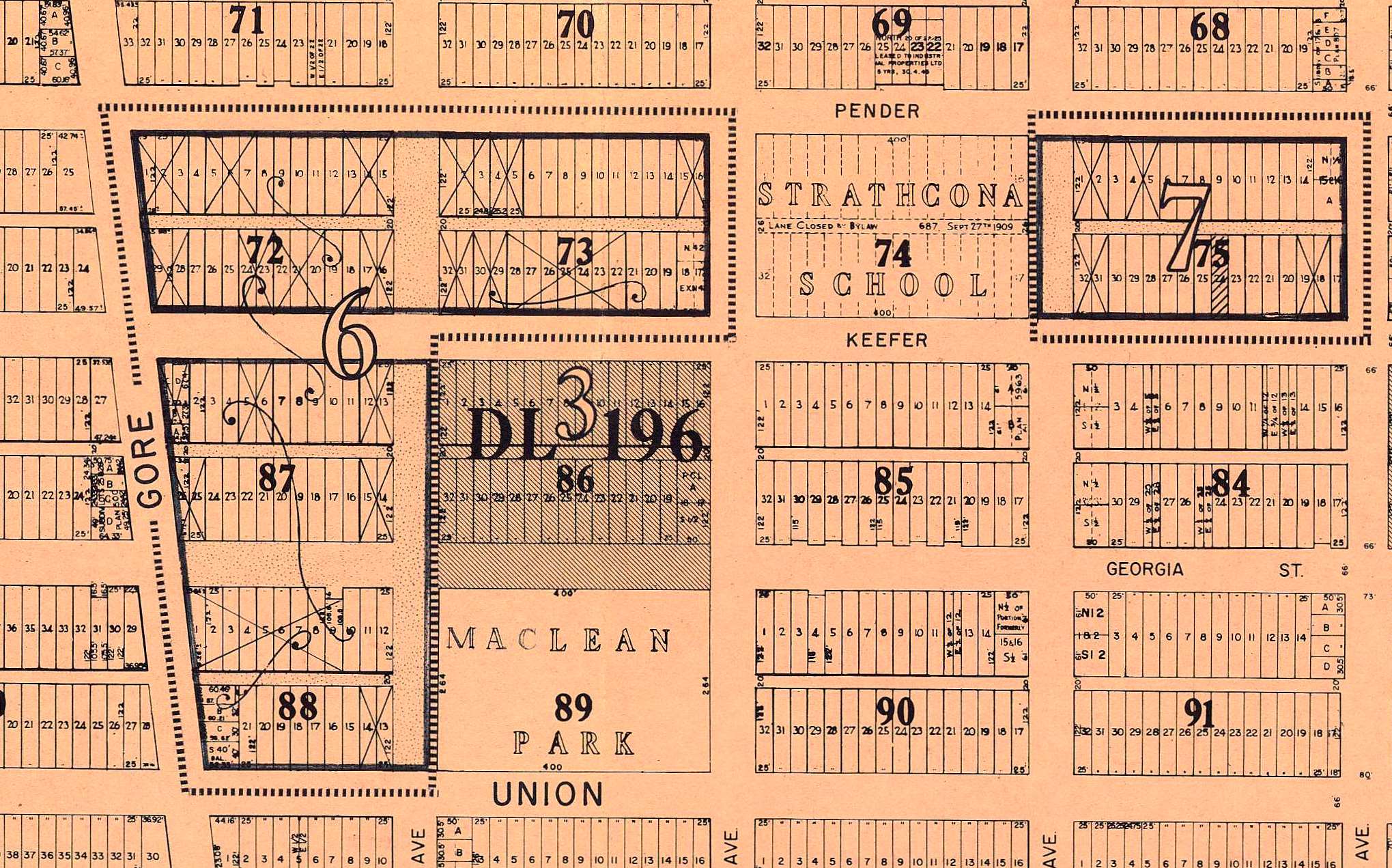
The above key plan shows the various redevelopment sub-areas in Project 2 and Project 1, which were spread across Strathcona. The bounded and numbered areas on the map above denote the various sub-areas for Project 2; the shaded areas are the sub-areas for Project 1. The detail below shows the pre-demolition land configuration of Project 2, sub-area 6, and Project 1 sub-area 3 as of August 1963. These properties were purchased or appropriated, and the buildings demolished, in order to construct the Maclean Park housing project.
The appropriation files document, by individual property, the acquisition and demolition of approximately 300 residences, commercial and industrial buildings on over 200 properties across Strathcona for Project 1, sub-area 1; and Project 2 sub-areas 5, 6 and 7. Some files document more than one property, if they were adjacent and had the same owner.
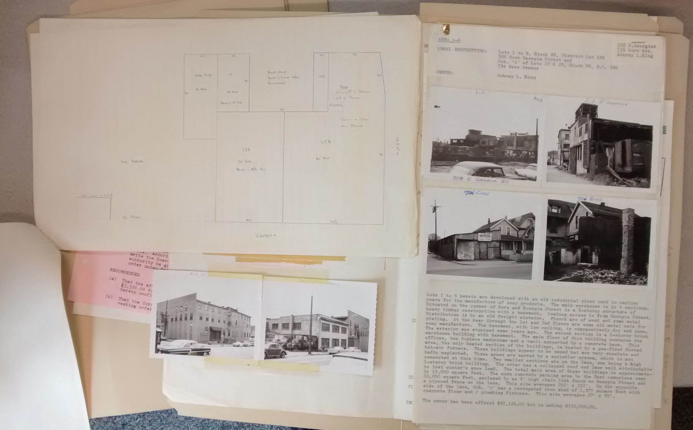
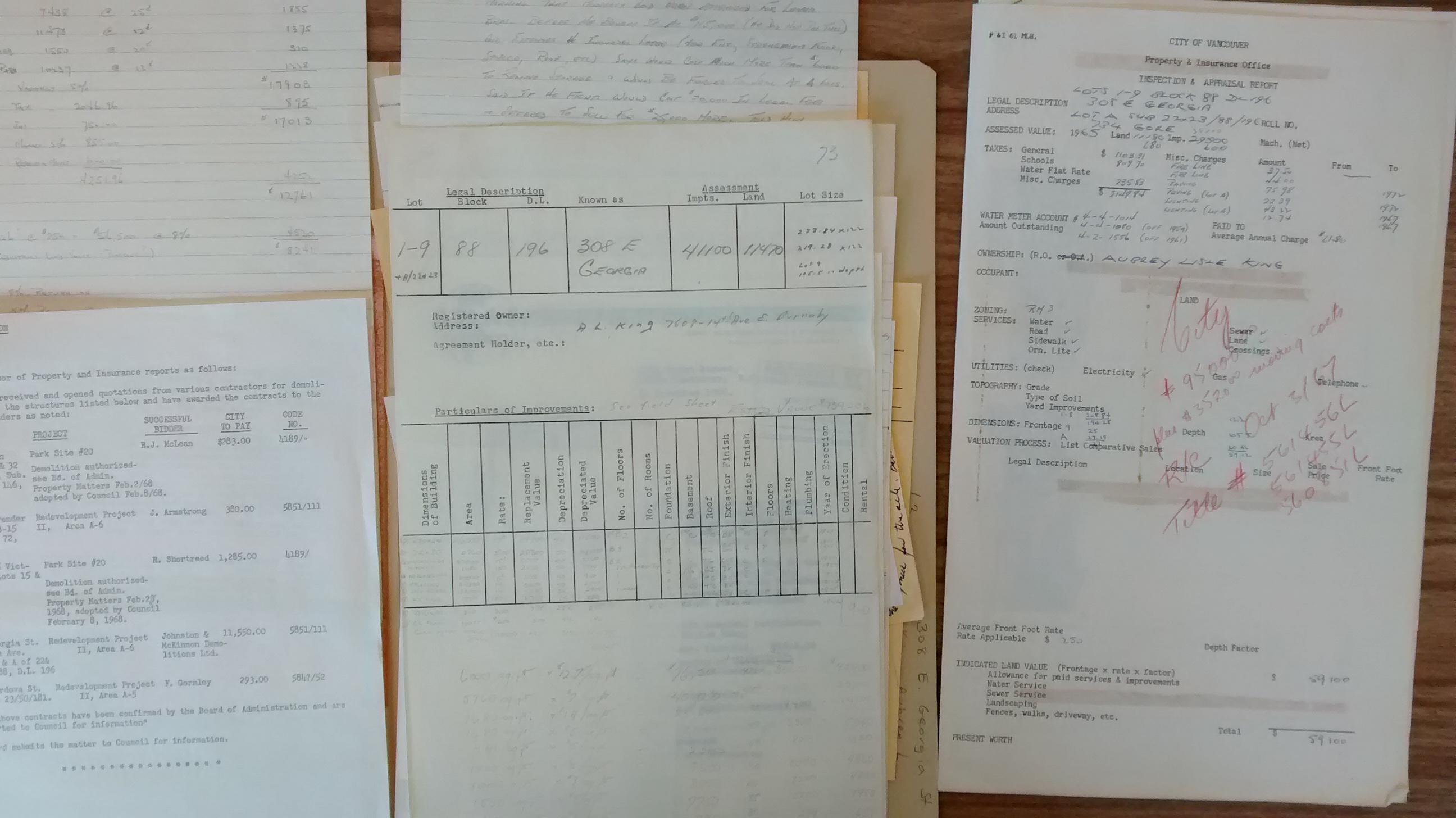
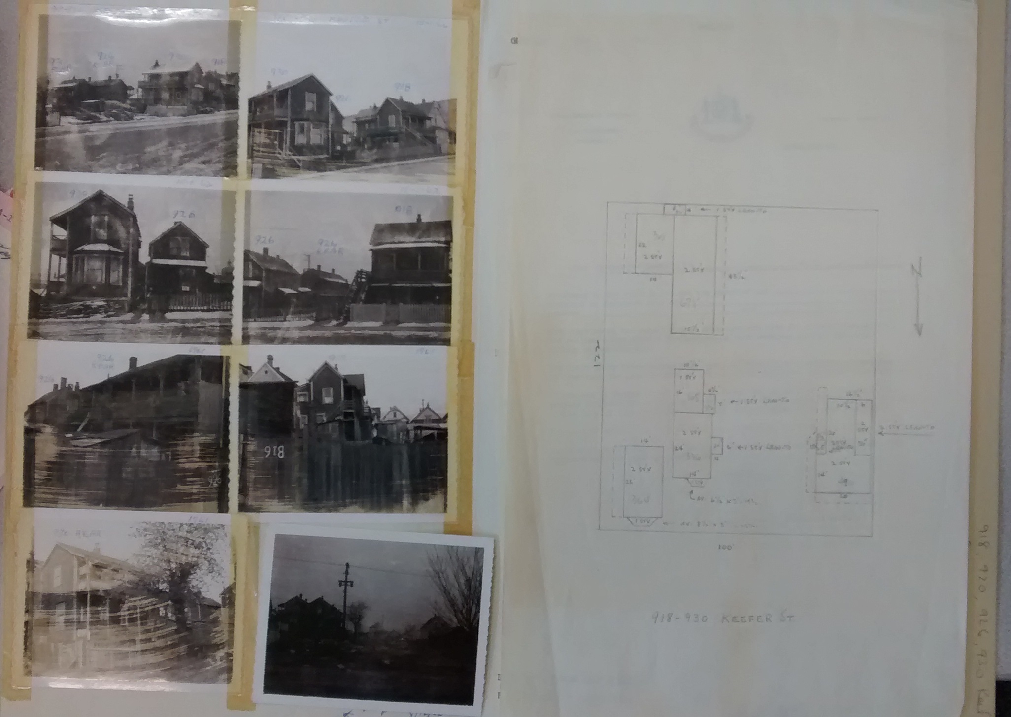
The files include pre-demolition photographs of the exteriors (and sometimes the interiors) of the properties and information about site usage for non-residential buildings. For residential properties occupied at the time of acquisition, the file also contains information about the residents and owner (if different).
Many of the properties had multiple structures on site, and the files relating to them often contain a sketched site plan of the buildings.
Previously, these files had been described collectively, by sub-area. We felt that enriching the metadata about these records would make them more accessible to researchers, who most frequently search for property information by address or legal land description. So we re-described the files by address, as the records were originally created by the Properties Division.
Please note that some of the files are restricted in accordance with the Freedom of Information and Protection of Privacy Act, as they contain non-published personal information about the residents of the properties. Researchers wishing to review these files must c0mplete the Archives’ Access to Restricted Records form. Files that contain personal information otherwise available (such as names and occupations of residents already available in published City directories) have not been restricted.
We hope that easier access helps you make use of these records, which uniquely document the past of one of Vancouver’s most interesting and altered neighbourhoods.