Putting the Goad’s 1912 Plan into Open Historical Map
We’ve had great response to making Goad’s 1912 Fire Insurance map available as a Vanmap layer and as downloadable open …
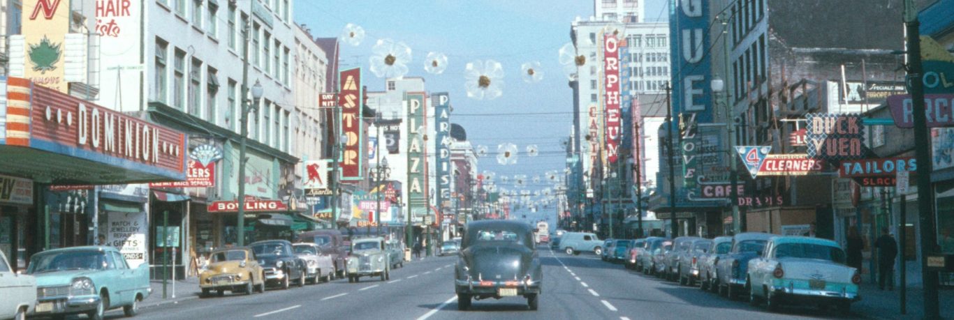

We’ve had great response to making Goad’s 1912 Fire Insurance map available as a Vanmap layer and as downloadable open …
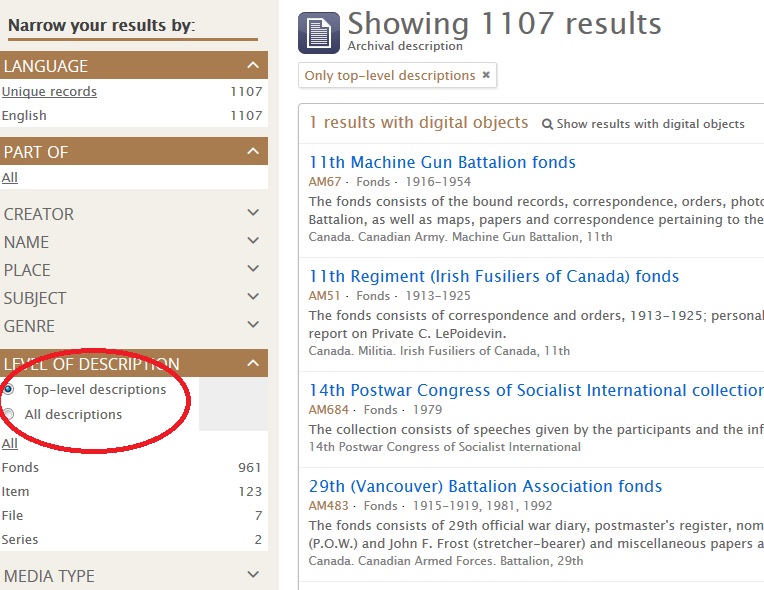
We’ve recently updated our online search to add a few new features. DATE SEARCH In response to your suggestions, we …
This post is of special interest to the mapping community and may be too technical for some researchers. We digitize …
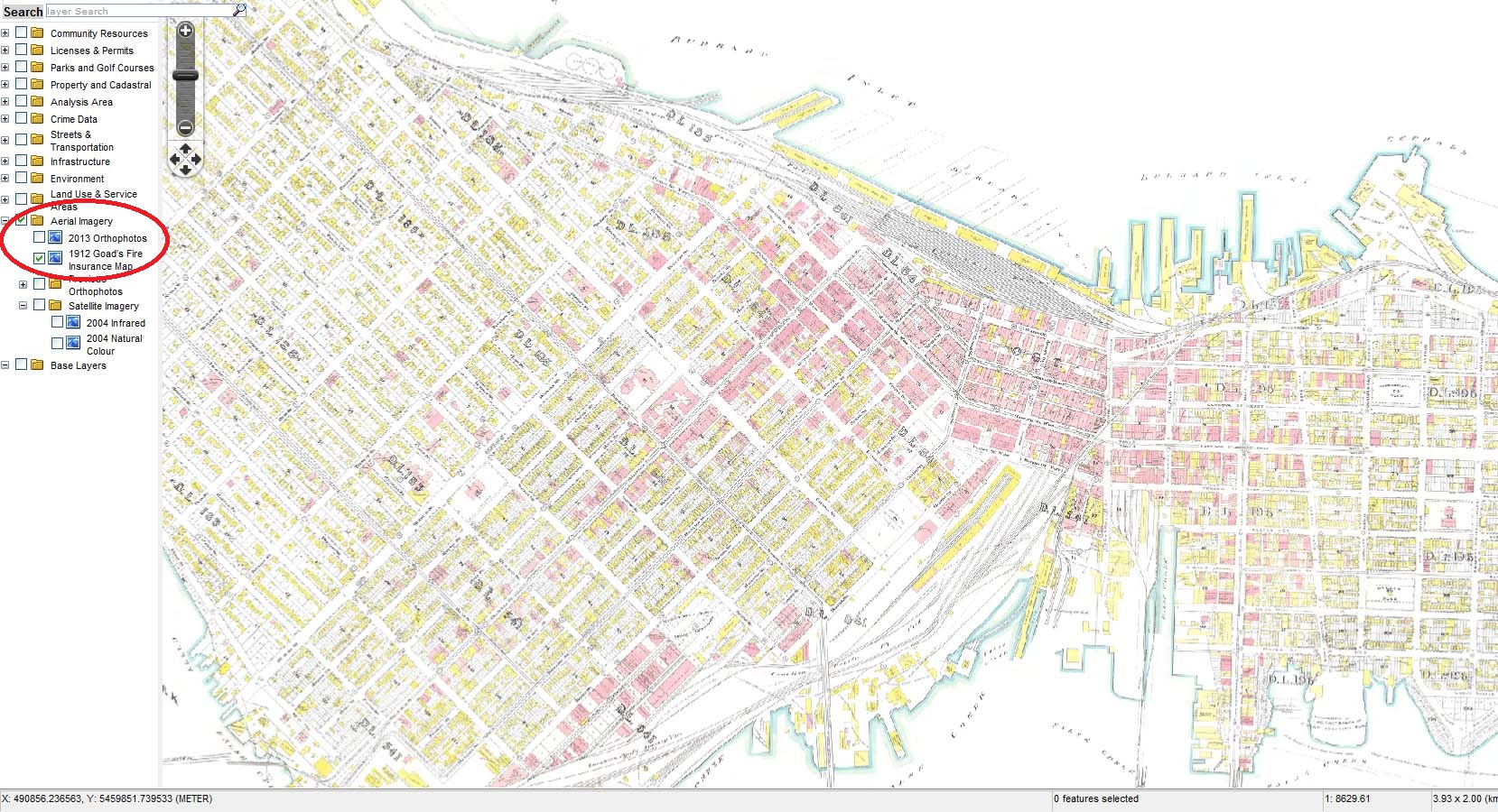
With funding from the City’s Chief Digital Officer and in collaboration with the City’s GIS and Open Data teams, there …
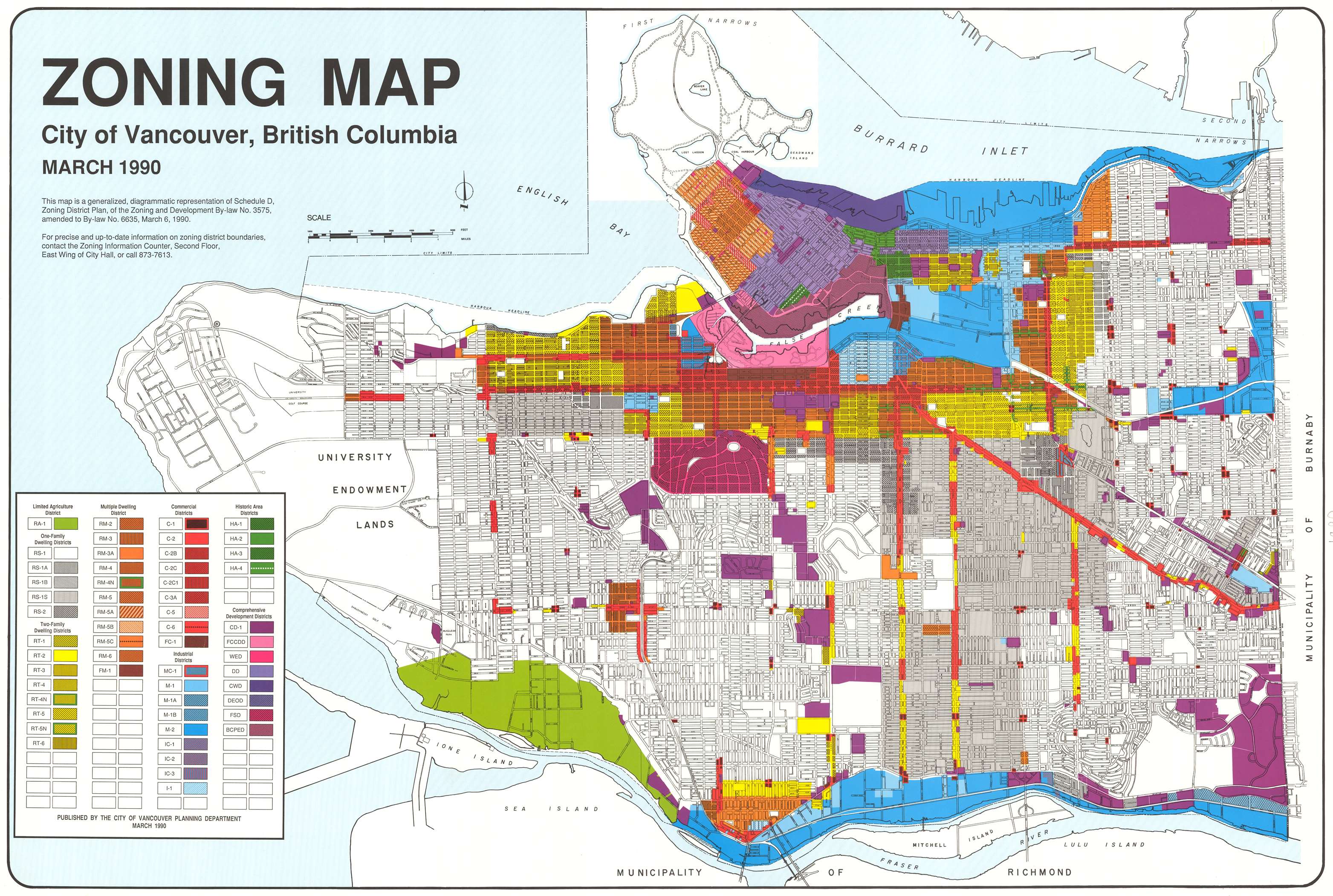
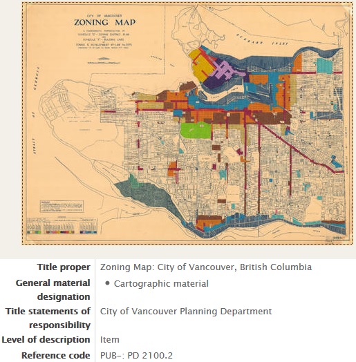
We’ve made a group of zoning maps available online. These are frequently consulted by our researchers, so we’ve made them …
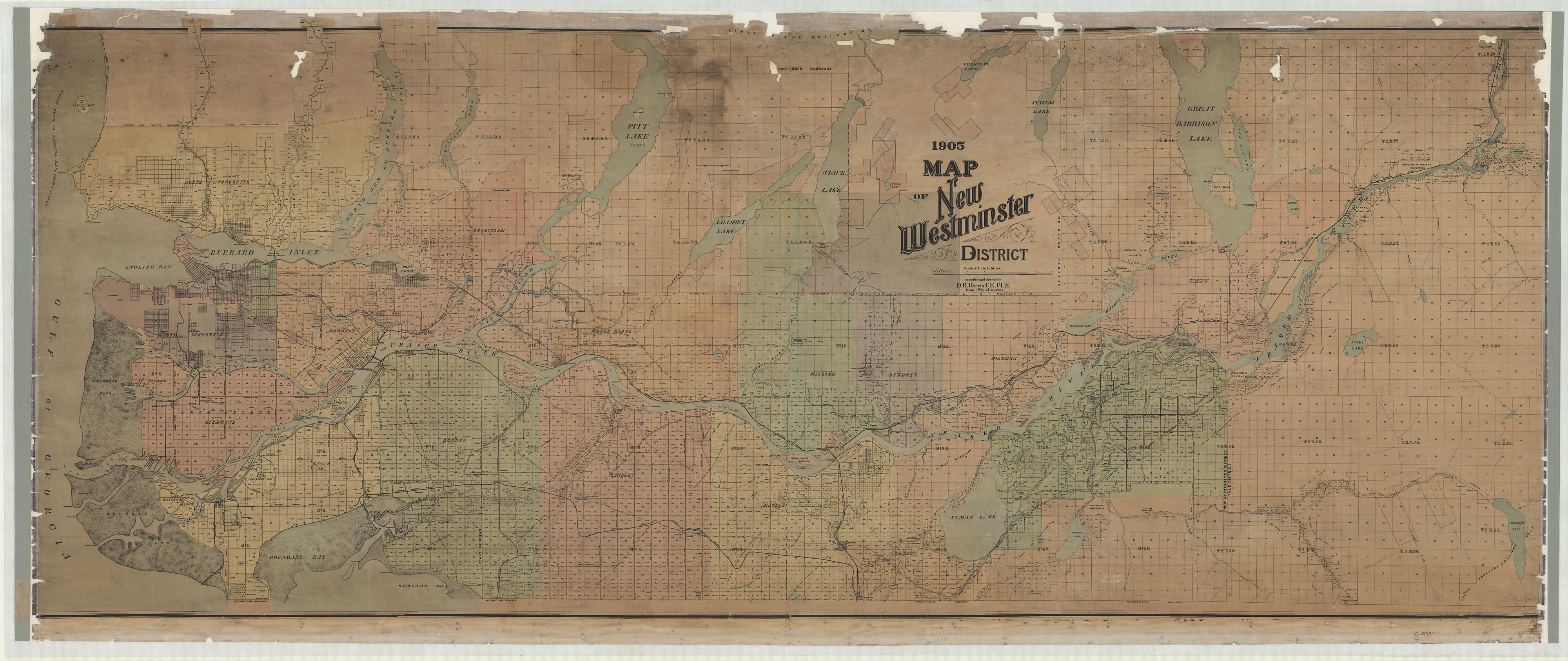
We have a very large and rare 1905 map in our holdings that was dirty and falling apart. Last year, …
In nearly every case, “historical geodata” means a paper map. Digitizing that map gives us an image of a paper …
Thanks to funding from the British Columbia History Digitization Program, we’ve recently completed a project to digitize over eight thousand …
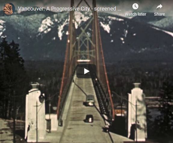
As we have before, we’ve put the video portion of last year’s Vancity screening on our YouTube channel. This does …
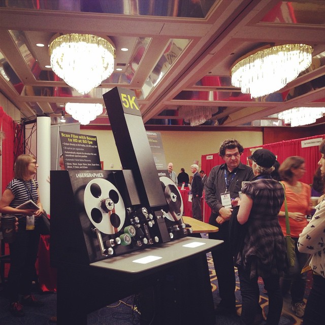
In October, I attended the annual conference of the Association of Moving Image Archivists (AMIA) in Savannah, Georgia. Here are …