More Legacy Open Data Sets Now Available
We’re delighted to announce that even more legacy versions of the City’s open data sets are now available for download …
We’re delighted to announce that even more legacy versions of the City’s open data sets are now available for download …
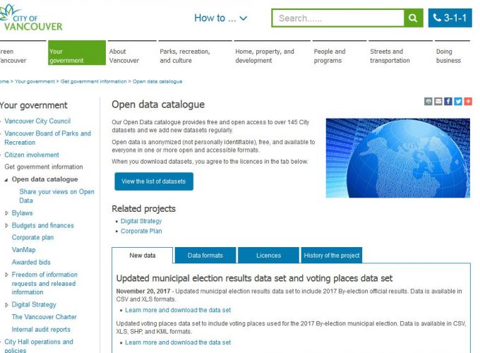
We’re very pleased to announce that legacy versions of the City’s open data sets are now available through our online …
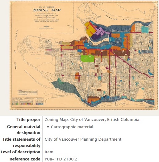
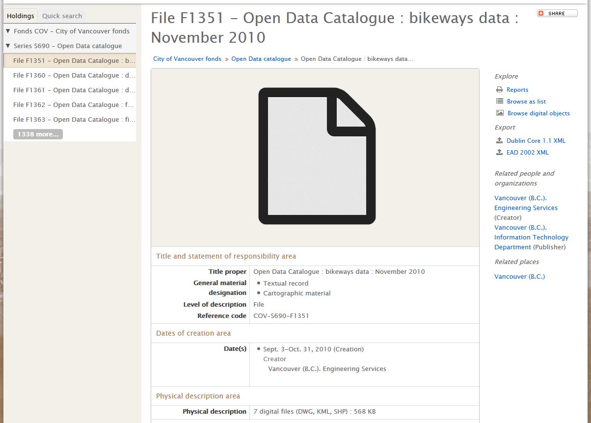
This post is of special interest to the mapping community and may be too technical for some researchers. We digitize …
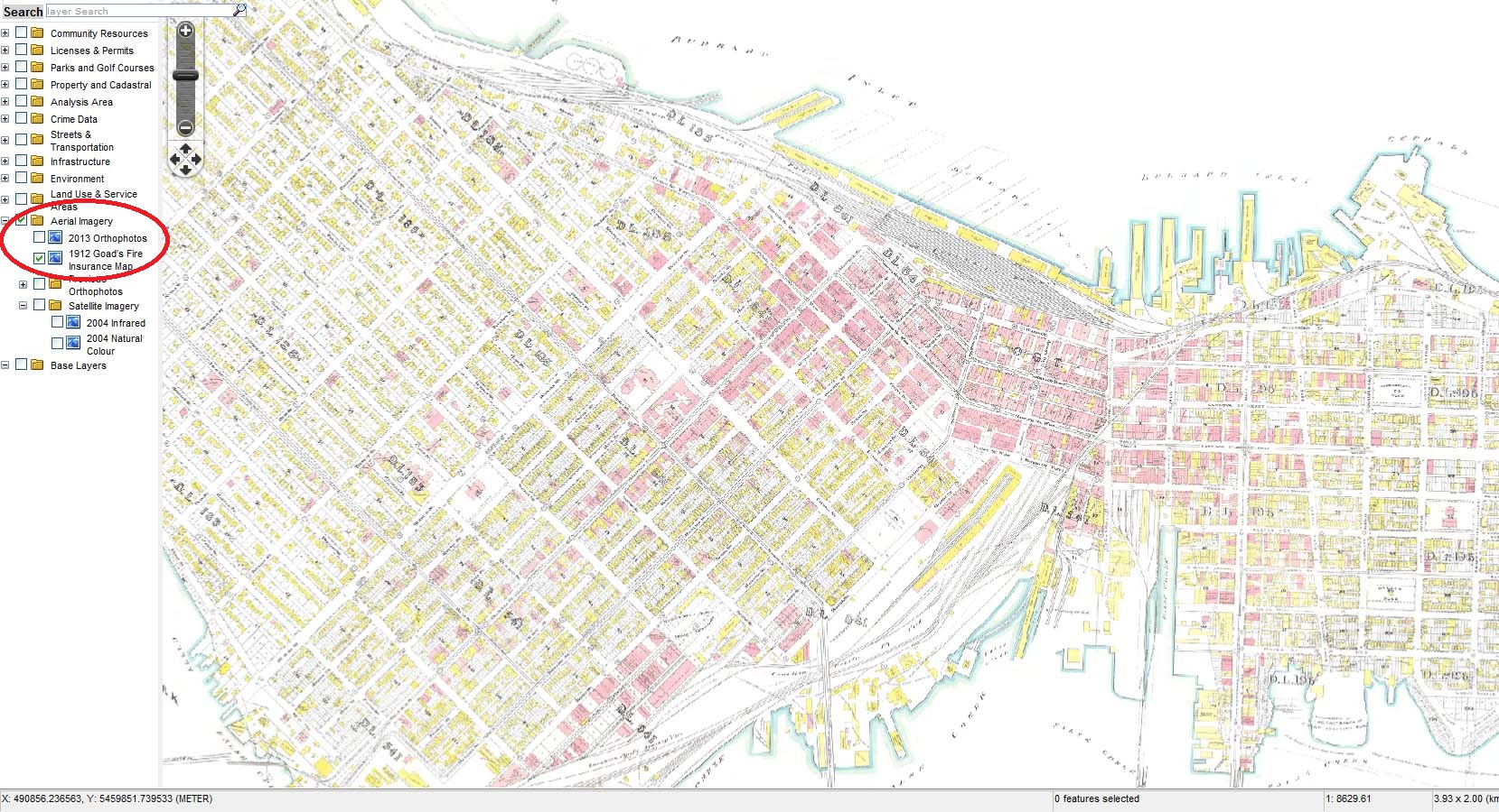
With funding from the City’s Chief Digital Officer and in collaboration with the City’s GIS and Open Data teams, there …
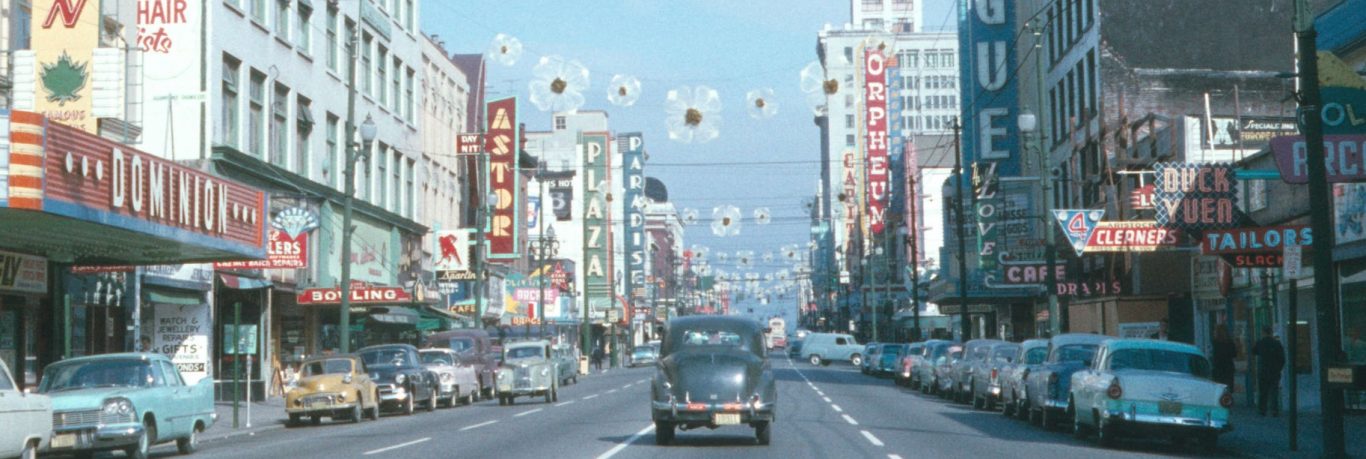
Christmas trees were burned at the beach. The Champlain Heights neighbourhood was developed. Vancouver submitted a bid for the 1976 …
Which three words best describe your Open Government vision? Let us know in the comments. In the last few weeks, …
We’re pleased to announce that we are now a partner institution with the Internet Archive (IA). You can find all …